Ghana has officially launched a nationwide Global Positioning System (GPS) network that will change the way land is managed, surveyed, and recorded, eventually ending disputes over land across the country.
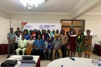
The project, known as the CORS Network (Continuously Operating Reference Stations), was unveiled in Accra on Tuesday, 19th August 2025, by the Licensed Surveyors Association of Ghana (LiSAG) in partnership with the Lands Commission and GMX Systems Ghana Ltd.
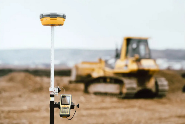
The CORS system uses advanced GPS technology to provide real-time, highly accurate data across Ghana, 24 hours a day, 7 days a week.
More Read

This means surveyors, farmers, builders, and government agencies can work with centimetre-level precision, far beyond the normal GPS on phones.
The network is being described as a “national game-changer” because it will:
• Make land surveys more accurate, thereby helping to settle disputes over land boundaries.
• Reduce the time and cost of surveys, speeding up the process for people buying land or building houses.
• Protect landowners, ensuring records are reliable and harder to tamper with, giving people more confidence in land ownership.
• Support farmers through precise mapping of farmland and better planning for irrigation and crop management.
• Help in disasters, like floods or earthquakes, by providing accurate maps for quick response.
• Boost development by making it easier to plan and build roads, bridges, and other infrastructure.
• Generate more money for Ghana through faster, more transparent land transactions.
So far, 52 GPS stations have been set up across Ghana. These stations will connect to surveyors and government offices to provide constant, reliable data.
To make sure the system is sustainable, the Lands Commission, LiSAG, and GMX Systems have signed a Memorandum of Understanding (MoU), pledging to maintain and expand the network, ensure 24/7 access, and build public trust in Ghana’s land records.
At the launch in Accra, the President of LiSAG, Surv. Dr. Ing. Samuel Larbi Darko, said the CORS Network is more than just a project; “it is a living system, accessible, accurate, and sustainable.”
He added that it answers the government’s call for a 24-hour economy, putting Ghana in line with global best practices in land and geospatial management.
LiSAG has also committed to training more surveyors, encouraging the adoption of the technology nationwide, and working with the Lands Commission to ensure the system benefits every Ghanaian.
At its core, the CORS Network is about making land ownership more secure, making development projects more efficient, and giving every Ghanaian, whether a farmer, a builder, or a landowner, confidence in the country’s land records.
Source: myjoyonline